Bi-temporal LiDAR-based estimates of stand variables reduce growth modelling costs in even-aged Larix olgensis A. Henry plantations
 Research paper
Key message
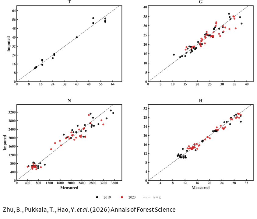
We developed a dynamic stand-level growth and yield model using bi-temporal UAV LiDAR data to support forest management and planning. This approach aims to reduce the cost and intensity of ground-based inventories by using low-cost UAV LiDAR as an alternative data source.
Keywords
KNN imputation; UAV LiDAR; SUR model
Publication
Zhu, B., Pukkala, T., Hao, Y. et al. Bi-temporal LiDAR-based estimates of stand variables reduce growth modelling costs in even-aged Larix olgensis A. Henry plantations. Annals of Forest Science 83, 48 (2026). https://doi.org/10.1186/s13595-026-01365-3
Data availability
The dataset used in this study has been deposited in the Zenodo repository and is available at https://doi.org/10.5281/zenodo.21561586. To protect the precise locations of the study area, the released point-cloud data were transformed from their original georeferenced coordinate system into a local relative coordinate system.
Handling editor
Shengli Tao