Impact of UAV flight parameters and acquisition context for canopy height and trunk diameter measurement using LiDAR
 Research paper
Key message
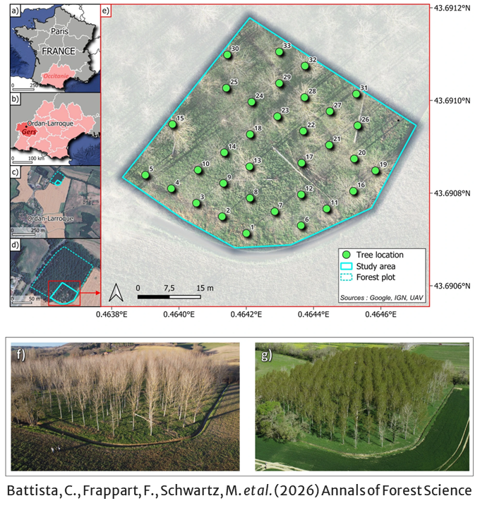
Drone-borne LiDAR can measure forest structure quickly and accurately. In a poplar plantation, tree height was retrieved reliably under almost any flight setting, whereas trunk diameter proved far more demanding: accurate values required flying in winter (leafless trees), at low altitude, with triple returns and generous plot margins, and along the planting rows. These practical guidelines make drone-based forest monitoring more reliable and reproducible.
Keywords
Tree-level metrics; Point cloud density; DBH; Forest inventory; Poplar (Populus); Plantation forestry
Publication
Battista, C., Frappart, F., Schwartz, M. et al. Impact of UAV flight parameters and acquisition context for canopy height and trunk diameter measurement using LiDAR. Annals of Forest Science 83, 52 (2026). https://doi.org/10.1186/s13595-026-01371-5
Data availability
The UAV LiDAR datasets are available in a Data paper: Baup et al. (2026), https://doi.org/10.1016/j.dib.2026.113234. Ground-based LiDAR and FORMS-T datasets are available from the authors upon request.
Handling editor
Shengli Tao