Estimating the age of Eucalyptus plantations using monthly Harmonized Landsat–Sentinel imagery and a LandTrendr-based workflow
Research paper
 Key message
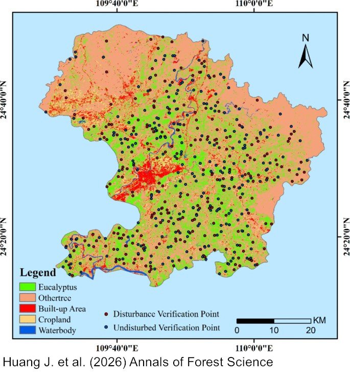
Using monthly Harmonized Landsat–Sentinel imagery and an adapted LandTrendr-based workflow, we achieved reliable month-resolved estimation of coppiced-stand age for Eucalyptus spp. plantations in Luzhai County, Guangxi, China. The workflow achieved 83.2% overall accuracy and a mean absolute timing error of 1.58 months, enabling reliable month-scale harvest dating for short-rotation plantations.
Keywords
Forest age estimation; Harvest detection; Spectral index fusion; Monthly time series; Harvest scheduling
Publication
Huang, J., Wei, H., Ding, J. et al. Estimating the age of Eucalyptus plantations using monthly Harmonized Landsat–Sentinel imagery and a LandTrendr-based workflow. Annals of Forest Science 83, 23 (2026). https://doi.org/10.1186/s13595-026-01339-5
Data availability
The data supporting the findings of this study are publicly available in Zenodo at https://doi.org/10.5281/zenodo.19045044. The repository contains the HLS fused image, the Eucalyptus plantation classification result, the study-area boundary, training and validation samples, the harvest-date output, a README file describing the file organisation, and the core Google Earth Engine workflow files in text format. All files are openly accessible under the CC BY 4.0 licence.
Handling editor
Shengli Tao